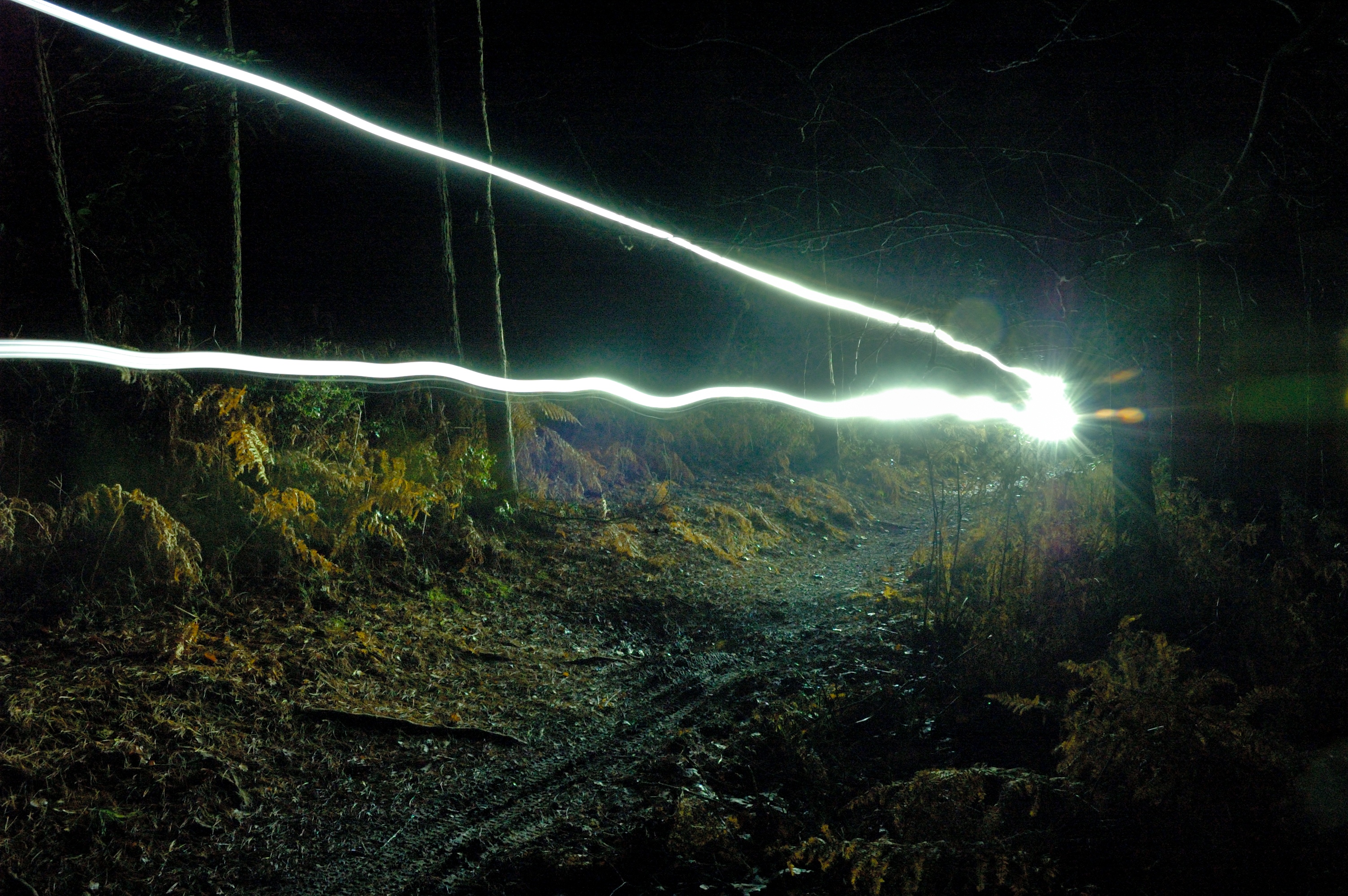
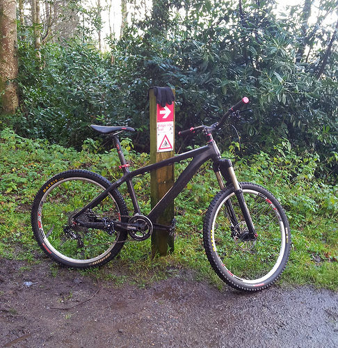
Out for a night ride, took the big camera to play about with and tried out some light trails.
Category: Mountain Biking
Jedi trip and update
Old post really. I just realised I never posted this on my blog (that I rarely update anyway).
Couple years back I went for a visit to Jedi’s place (aka Tony Doyle of UK Bike Skills). This was his write up of an excellent day…
http://ukbikeskills.co.uk/helping-tims-mental-skill-set/
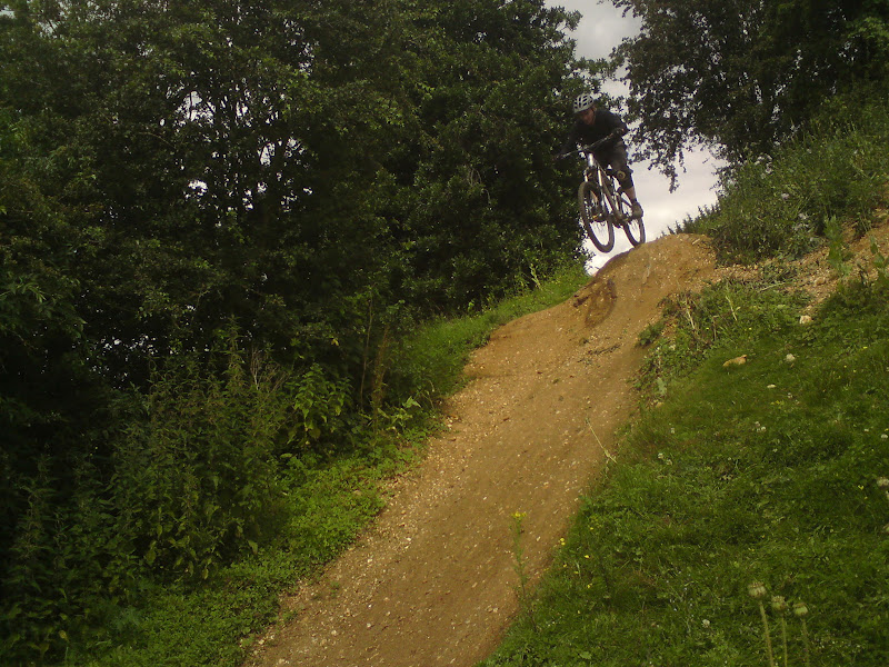
Big eye opener for me and he got me doing things I never expected to do and boosting my confidence. It was a 1 to 1 session covering core skills, jumps and drops. I think the big things I took away from it were the singletrack and cornering skills. That’s helped me a lot and I’m finding my flow on the trails, able to ride with more confidence and efficiency. I like to think it’s allowed me to tackle greater challenges local and beyond, even in the Alps as the last two years have had high points of successful and fun blasts around Morzine and Portes du Soleil region with good confidence and understanding what I’m up for and what I’m not.
There’s more to work on and Tony’s course was just the start, but it’s pushed me on the way. I feel a further session may be in order, especially dealing with other things I have hang ups on.
Follow up on Mountain Bike GPS tracking issues and Strava
So following up on my previous post Fixing altitude data in Mountain Bike GPS tracking:
I’ve since got a Samsung Galaxy S2 and the altitude data on that is better. It’s still off, but no where near as much as the E72 was compared to the corrected elevation survey data from Sports Tracks. Although Strava apparently do correction also based on the same or similar survey data, but I’ve found this differs from the corrections in Sports Tracks. Sports Tracks seems correct for some areas I know are a particular height though (classic being the height of Leith Hill in Surrey, highest point in south east England, which I know is 932ft and I spot instantly something is wrong when I’m seeing heights in excess of 1000ft).
However, next problem is the S2 GPS chip has low speed filtering enabled to optimise it for car navigation called Static Navigation. This is to filter out inaccuracies to avoid navigation jumping to side roads. In fact it’s funny reading about this because this was exactly a problem I was getting with the old Nokia E72 when navigating in a car in the US. It kept jumping to parallel roads! (and as their roads are straight, this happens a lot).
Okay, I thought I’d go back to my old bluetooth GPS which perhaps has a better antenna. Turns out it has the same chip though that does Static Navigation by default, the SiRF III chip.
Anyway, problem with Static Navigation is Strava assumes the GPS is always tracking and if there are pauses in the plot points it just assumes you’re moving still and thinks you’ve gone crazy speeds to catch up to the next point. I’ve had many incorrect KOM from climbs that I’ve done slow (or even pushed up!) due using auto-pause on Sports Tracker or Endomondo in the past and imported to Strava. I don’t use auto-pause now, but I get the same from problems from the Static Navigation.
Anyway, for phone tracking with Strava, the Strava app is preferred it seems as it gets around various issues and doesn’t auto-pause, but I then suffer from horrible location spikes in the S2. Often sending me 100s of miles away when I’m standing still! Might be the Static Navigation again though. This can be turned off but the phone has to be rooted apparently. Bluetooth devices can apparently be tweaked through serial commands you send to them, but they reset with it enabled when you turn them off/on.
For now I’ve gone back to the E72 to track using Endomondo with auto-pause disabled. Elevation data is once again way off though and Strava itself doesn’t correct it quite right so I use Sports Tracks to do that and import to Strava. This is the most accurate I’ve got, but still things screw up Strava further if you’re in a wooded area and the plot points make big jumps due to lack of GPS lock I guess.
Actually I’m wondering if GPS tracking logs the actual time for each plot point, as surely if it did this should never happen, as a lack of logged points should not make it think you did the segment faster! Would seems odd to not log the actual time given that time is a critical component of GPS.
*So* – most accurate Strava option – probably a Garmin or similar. These are designed for low speed tracking for walking and cycling, have better antenna, and also have a barometer for the altitude (though a couple of Android phones now have a barometer apparently). Just a question of whether you are that obsessed with Strava to justify the cost. My Strava use is really just for fun, comparing with friends and seeing where I’ve gone, but thanks to the leaderboards on segments it’s highlighting so many inaccuracies with GPS tracking on different devices.
Generally the only trust I have with the leaderboards in Strava is knowing who the people are on there. If I know it’s likely they can achieve that time, then it’s probably right, but some are so dodgy, and not just mine.
Fixing altitude data in Mountain Bike GPS tracking
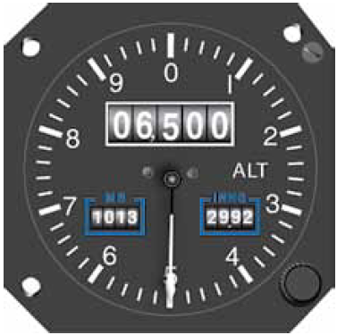
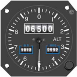
One of the problems I’ve come across with GPS tracking on mobile phones is the accuracy of altitude is somewhat poor. Reading a bit into this, it turns out that GPS is just plain not very accurate for altitude. The accuracy will generally depend on the device being used and what (if any) correction is done in software. This is why planes use other equipment for altitude and should never use the GPS for it.
On my old Nokia E72 the software I’ve used is Sports Tracker and Endomondo. Both come up with some crazy altitude tracking. One thing is they’re offset a lot, sometimes a couple of hundred feet above or below the actual altitude you’re at. The other is some crazy spikes whilst riding so the track seems to show you making huge climbs and descents along relatively flat terrain. Uploading into Strava this becomes more apparent as Strava highlights the Elevation Gain meaning thousands of feet of climbing when the reality is more like a few hundred feet.
So, aside from app makers doing some altitude correction in their apps, which requires obtaining physical location elevation data (much of which can be obtained from Shuttle Radar Topography Mission data), what you can do is fix the data yourself.
So what you can do is this:-
- Download and install Sports Tracks
- Install the Elevation Correction plugin by pkan (this does SRTM corrections)
- Export your track to a GPX file
- Import the GPX into Sports Tracks
- Go to Edit and then Apply Elevation Correction
- Export the GPX from Sports Tracks
- Import the GPX into your favourite tracker app now with the fixed elevation data
Note, this is all dependent on you riding at ground level. Maybe this is why apps aren’t doing the corrections as you may be tracking something like flying a plane, plus you could be going over a bridge or under a tunnel. For mountain biking though, it’s generally going to be accurate. Maybe the freeride and dirt jumpers are getting some height though, but near enough for all but the most insane ones doing crazy massive jumps and drops.
Other note is some GPS devices have barometers in them to aid altitude fixes. This is starting to include some GPS mobile phones.
