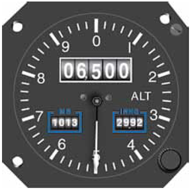
One of the problems I’ve come across with GPS tracking on mobile phones is the accuracy of altitude is somewhat poor. Reading a bit into this, it turns out that GPS is just plain not very accurate for altitude. The accuracy will generally depend on the device being used and what (if any) correction is done in software. This is why planes use other equipment for altitude and should never use the GPS for it.
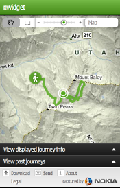
On my old Nokia E72 the software I’ve used is Sports Tracker and Endomondo. Both come up with some crazy altitude tracking. One thing is they’re offset a lot, sometimes a couple of hundred feet above or below the actual altitude you’re at. The other is some crazy spikes whilst riding so the track seems to show you making huge climbs and descents along relatively flat terrain. Uploading into Strava this becomes more apparent as Strava highlights the Elevation Gain meaning thousands of feet of climbing when the reality is more like a few hundred feet.
So, aside from app makers doing some altitude correction in their apps, which requires obtaining physical location elevation data (much of which can be obtained from Shuttle Radar Topography Mission data), what you can do is fix the data yourself.
So what you can do is this:-
- Download and install Sports Tracks
- Install the Elevation Correction plugin by pkan (this does SRTM corrections)
- Export your track to a GPX file
- Import the GPX into Sports Tracks
- Go to Edit and then Apply Elevation Correction
- Export the GPX from Sports Tracks
- Import the GPX into your favourite tracker app now with the fixed elevation data
Note, this is all dependent on you riding at ground level. Maybe this is why apps aren’t doing the corrections as you may be tracking something like flying a plane, plus you could be going over a bridge or under a tunnel. For mountain biking though, it’s generally going to be accurate. Maybe the freeride and dirt jumpers are getting some height though, but near enough for all but the most insane ones doing crazy massive jumps and drops.
Other note is some GPS devices have barometers in them to aid altitude fixes. This is starting to include some GPS mobile phones.


